


Taupinière vers O'mulane

GabyG
User GUIDE
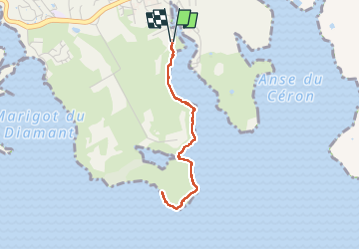

Length
4.7 km

Max alt
19 m

Uphill gradient
41 m
Km-Effort
5.2 km

Min alt
0 m

Downhill gradient
41 m
Boucle
Yes
Creation date :
2025-06-22 12:56:23.588
Updated on :
2025-06-22 14:48:48.434
1h47
Difficulty : Easy

FREE GPS app for hiking
 SityTrail
IGN / Geographical institutes
SityTrail Plus
The world is yours!
About
Trail Walking of 4.7 km to be discovered at Martinique, Unknown, Le Diamant. This trail is proposed by GabyG.
Description
Rando dominicale, avec remise en forme.
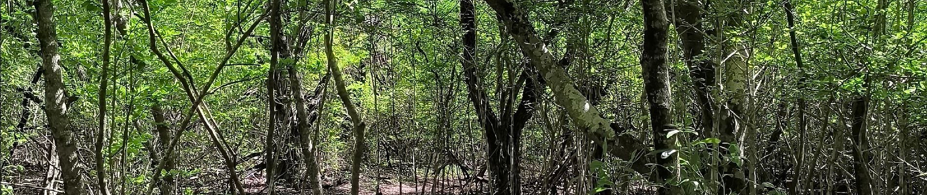
Photos


Positioning
Country:
France
Region :
Martinique
Department/Province :
Unknown
Municipality :
Le Diamant
Location:
Unknown
Start:(Dec)
Start:(UTM)
716439 ; 1601823 (20P) N.
Comments